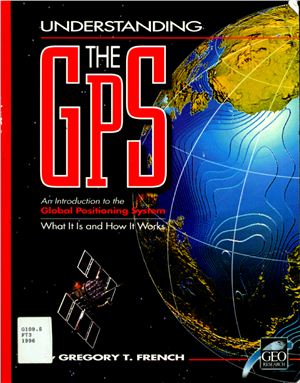
Introduction to GlobalPositioning System: What it is and how it
works.
GeoResearch, Inc. 1996. 264 pages.
There is an ever-growing supply of information about the Global Positioning System. Unfortunately, these new (and now, some not so new) documents seem to be located at each end of the comprehension scale: either at the gee-whiz level which basically describes how interesting and useful this new utility is, or at the engineer’s level which starts out with Keplerian orbits and Hopfield Modeling. What seems to be missing is a comprehensive, yet easy to understand, presentation of the Global Positioning System (GPS) for people who may have a very real need to apply this new technology but lack the basic understanding necessary to make important, and often expensive, decisions about it. Thus this book.
This book is designed to support an introductory course on the fundamentals of the Global Positioning System based on a series of graphic representations and distilled concept-bullets. Math is scrupulously avoided-that level of information is readily available through numerous highly technical publications and is no more necessary for most users than is a textbook on electronics necessary for the purchaser of a television set.
Each concept is presented in one to four graphics found in this book on the left page of each page-pair. The opposing right page presents a brief discussion of the concept. While much more could be said on each of the topics presented, only those highlights considered by the author to be of most immediate value to the geographer, project manager, field technician, or others needing to lea the fundamentals of the GPS are included here. At the end of the book, there is a list of suggested readings for those who are interested in gathering more in-depth and detailed information on most of the topics covered.

