Chart 5011 Edition 4 - October 2008 Published at Taunton, United
Kingdom under the Superintendence of Rear Admiral J. A. L. Myres,
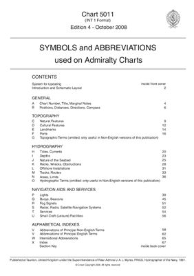
Frics, Hydrographer of the Navy, 1991.Chart 5011 is primarily a key
to symbols and abbreviations used on Admiralty and Inteational
paper charts compiled by the UKHO (United Kingdom Hydrographic
Office). Variations may occur on charts adopted into the Admiralty
Series that were originally produced by another hydrographic
office. Where these symbols and abbreviations are easily understood
they will not be included as examples in this publication. Symbols
and abbreviations shown on navigational display systems using
vector electronic charts may differ from those described in this
document.
Symbols and Abbreviations used on Admiralty Charts
- формат pdf
- размер 2.25 МБ
Смотрите также
Admiralty Manual Of Navigation Vol. 1
- формат pdf
- размер 27.99 МБ
- добавлен 19 мая 2011 г.
The English Book Store. 1964. 501c. Position and direction of the Earth's Surface. Admiralty charts and publications. The Ship's position and track. Fixing by Observation of Terrestrial Objects. Navigation in Pilotage Waters. Radio aids to Navigation. Navigational instruments. Tides and Tidal streams. Navigation in ice. Graphical problems. Rules of the road.
NP 100 - Mariners Handbook
Стандарт- формат pdf
- размер 29.33 МБ
- добавлен 19 мая 2011 г.
United Kingdom Hydrographic Office. Edition 8. 2004. 272 c. A quality hardback compendium of maritime information. General information on charts and publications: Coverage, Usage. Operational information and maritime regulations. Tides, currents and characteristics of the sea. Basic meteorology, navigation in ice, hazards and restrictions to navigation. IALA Maritime Buoyage System explained.
NP 136 - Admiralty Ocean Passages for the World
- формат pdf
- размер 27.88 МБ
- добавлен 19 мая 2011 г.
United Kingdom Hydrographic Office. 5th edition. 2004. Revised & updated, includes official 2004 update supplement. The great classic of the wind sailors, world. Includes 138pp. on sailing ship routes. The World Climatic Chart incl.winds, Jan; The World Climatic Chart incl.Winds; July; Steamship Routes-Atlantic; Steamship Routes – Indian Ocean; Steamship Routes – Pacific; The World Selling Ship Routes; The World-Surface Currents; The World In...
Ocean Prediction Center's Radiofacsimile Charts User's Guide
- формат pdf
- размер 1.25 МБ
- добавлен 13 мая 2011 г.
November 03, 2005. Introduction to Ocean Prediction Center's (OPC) Radiofacsimile Program.