Абрамова Р.Н., Болсуновская Л.М., Мазуров А.К. Геология рудных месторождений и разведка полезных ископаемых. Часть 2. Геология рудных месторождений. Профессиональный английский язык
Подождите немного. Документ загружается.

(2) How to read a geological map
(adapted from http://www.nature.nps.gov\GEOLOGY)
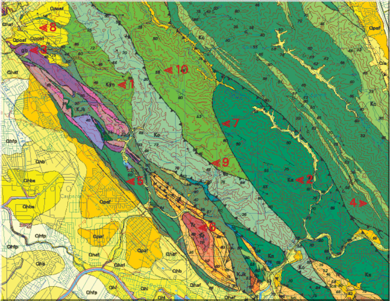
Geologic maps are not like other maps. Geologic maps, like all maps, are
designed to show where things are. But, whereas the maps we know best
show the distribution of roads or rivers or county boundaries, a geologic map
shows the distribution of geologic features, including different kinds of rocks
and faults. A geologic map is usually printed on top of a regular map (called
a base map) to help you locate yourself on the map. The base map is printed
with light colors, so it doesn’t interfere with seeing the geologic features on
the map. The geology is represented by colors, lines, and special symbols
unique to geologic maps.
APPENDIX 1
Report- Gold-bearing ores in Zharki Area (Magadan region). Submitted
by 4-year studentDashs Cherdantseva
EXAMPLE (main body)
Introduction
Territorial map P-56-VIII, IX (62040'-63020 's.sh; 151000'-153000'E)
has an area of 7,531 km
2
, administratively belonging to Srednekansk and
partially (in the south-west) Yagodninskomu area of Magadan region .
The relief includes lowlands with midlands areas. The main waterway is
Kolima River, flowing through the territory from south to north.
The climate is sharply continental with an average temperature of
-11
o
-13
o
C, absolute minimum (pre-65
o
C) in January, maximum (up
to + 41
o
C) in July.
Annual precipitation ranges from 250 to 400 mm, ice lasts from October
to June, in winter all the rivers are covered with thick ice.
Flora and fauna is poor and is typical for the forest-tundra zone.
The area of work is largely economically assimilated. Mining
production has been only in the middle of last century, when performed
exploration, mining of tin ore in the Lazo ore site was developed and tin
processing factory developed.
Settlements are Sejmchan and Verhnii Sejmchan. With the regional
center (Magadan) Sejmchan is connected by a highway, an offshoot of the
Kolyma highway, the distance from Magadan to Sejmchan 520 km.
Communication is the roads paved during the mining period but now
mainly unusable.

